
Search
Under the Torrent: Causes Behind Tamil Nadu's Heavy Rainfalls
- Rhituja Bhorade

- Jan 9, 2024
- 3 min read
Updated: Apr 7
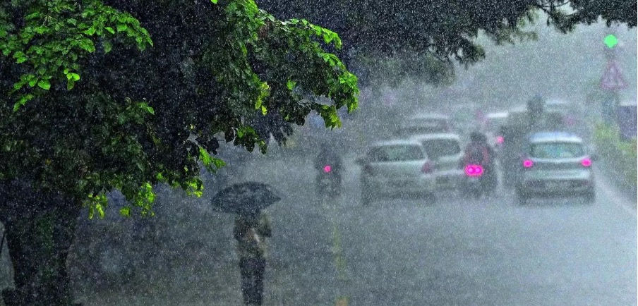
Photo Credit: The Economic Times
In December 2023, Tamil Nadu, nestled in southern India, experienced an unprecedented onslaught of rainfall, unlocking a sequence of unfortunate events.
This surge in precipitation stemmed from the active Northeast monsoon (NEM) stretching over the southern peninsula, a seasonal phenomenon known to last about 70 days, impacting coastal Tamil Nadu and Andhra Pradesh.
December commenced with Chennai and neighbouring regions witnessing notable downpours due to the emergence of Cyclone Michaung. After an interval of nearly 15 days, Tamil Nadu encountered an overwhelming downpour, primarily on December 17 and 18.
This exceptional weather endured throughout the week, inundating several southern districts with extreme rainfall, resulting in the loss of 31 lives and causing widespread flooding.
Severity of the Event:
Between October and December, Tamil Nadu received 453.7 mm of rainfall, slightly surpassing the expected normal of 430.7 mm.

Source IMD
Some districts experienced rainfall nearly equivalent to or surpassing the anticipated annual levels for the region.
According to the Indian Meteorological Department (IMD), the three districts below experienced a significantly higher amount of rainfall.
Source IMD: Seasonal rainfall for period from Oct 1 to Dec 20 (2023)
Districts | Actual (mm) | Normal (mm) | Departure (%) |
Tirunelveli | 1221.3 | 486.9 | 151 |
Kanniyakumari | 1050.7 | 519.1 | 102 |
Toothukudi | 809.4 | 422.9 | 91 |
According to the Indian Meteorological Department (IMD), the three districts below experienced a significantly higher amount of rainfall.
The persistent havoc led to the cancellation of about 15 trains and disruptions in flight operations, along with infrastructure damage.
Unveiling the Catalysts:
The IMD pointed to a vigorous NEM over Tamil Nadu and its southern regions, with the El Niño phenomenon playing a pivotal role in its intensification.
El Niño, part of the El Niño-Southern Oscillation cycle, involves sporadic warming of sea surface temperatures in the central and eastern tropical Pacific Ocean.
A cyclonic circulation formed on December 16 in the southwest Bay of Bengal. Gradually moving westward, this system heavily influenced NEM winds, persisting across southern Tamil Nadu on December 18 and 19.
Vineet Kumar Singh, a researcher at the Typhoon Research Centre of Jeju National University, emphasized that this circulation led to substantial upper atmosphere divergence, resulting in a strong rising of moisture-laden winds. These conditions built deep convective clouds with high rain rates (in the range of 60-70mm/hr), precipitating the extreme rainfall due to the convergence of moisture-rich easterly winds.
Reflecting on historical parallels:


Comments